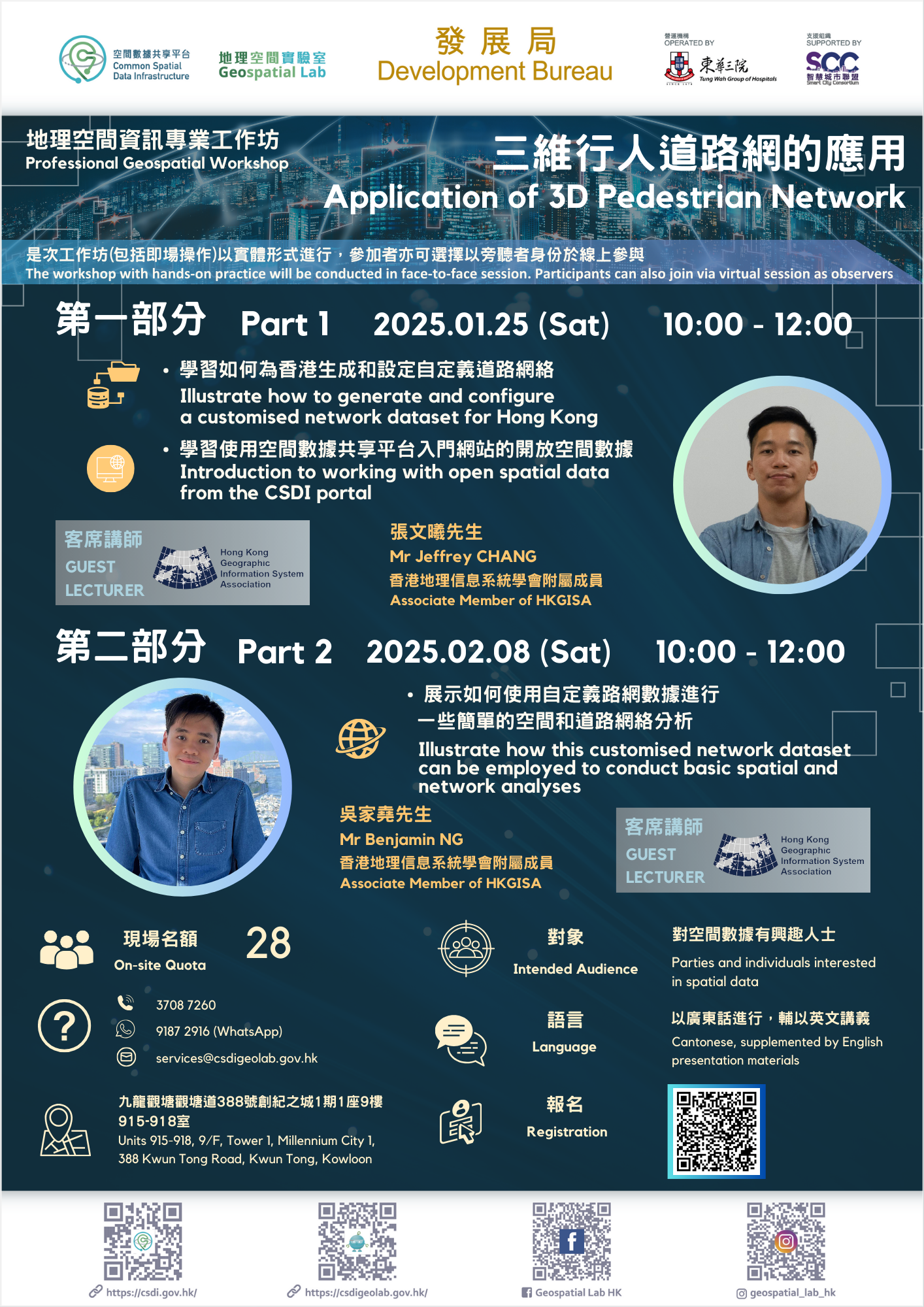
Professional Geospatial Workshop
Event Code: E250125
Details
Objective
As a highly populated metropolis, Hong Kong requires a comprehensive 3D Pedestrian Network (3DPN) to aid its spatial planning and analysis. Since 2022, the Lands Department has made the dataset available to the public via the Common Spatial Data Infrastructure Portal (CSDI). A series of workshops related to the theme will be held in the coming months.
The first workshop will illustrate how to generate and configure a customised network dataset for Hong Kong using the dataset in the CSDI portal.
In the second workshop, we will illustrate how this customised network dataset can be employed to conduct basic spatial and network analyses.
Intended Audience
Activities
1. Professional Geospatial Workshop – Application of 3D Pedestrian Network
2. Tour in Geospatial Lab, with showcases and demonstrations (Face-to-face session only)
| Event Code: |
E250125 |
||
| Date: |
25 January 2025 at 10:00 am – 12:00 pm |
8 February 2025 at 10:00 am – 12:00 pm |
|
| Venue: |
Geospatial Lab (Units 915-918, 9/F, Tower 1, Millennium City 1, 388 Kwun Tong Road, Kwun Tong, Kowloon) or online |
||
| Guest Lecturer: |
Mr Jeffrey CHANG, Associate Member of HKGISA |
Mr Benjamin Ng, Associate Member of HKGISA |
|
| Language: |
Cantonese, supplemented by English presentation materials |
||
Registration Details
- Please register via the registration link (WhatsApp / Email)
- Quota for face-to-face session: 28 (priority will be given to members who attended the virtual sessions before)
- Free of charge
- The workshop with hands-on practice will be conducted in face-to-face session. Participants can also join via virtual session as observers
- Successful applicants will be notified individually by phone or email
*Geospatial Lab reserves the right to cancel or reschedule the activity and to allocate seating for activities
Introduction of Guest Lecturer
Mr Jeffrey CHANG
Mr Chang research focuses on Urban Climate Modeling and Resilience, particularly on urban heat and extreme weather phenomena at local communities. His research applies advanced regional climate models, geographic information system (GIS), machine learning and citizen science to investigate interactions between urban meteorology and air pollution trends.
Mr Benjamin Ng
Mr Ng is a System Officer in the Science Unit, Lingnan University. He holds an MPhil in Health Geography and a BSocSc in Geography & Urban Governance from The University of Hong Kong. He is an experienced researcher who applies GIS to explore interdisciplinary issues intersecting health and urban planning.
Enquiries
Please contact the Geospatial Lab via 3708 7260, WhatsApp 9187 2916 or email services@csdigeolab.gov.hk


