The Government of the Hong Kong Special Administrative Region
Development Bureau
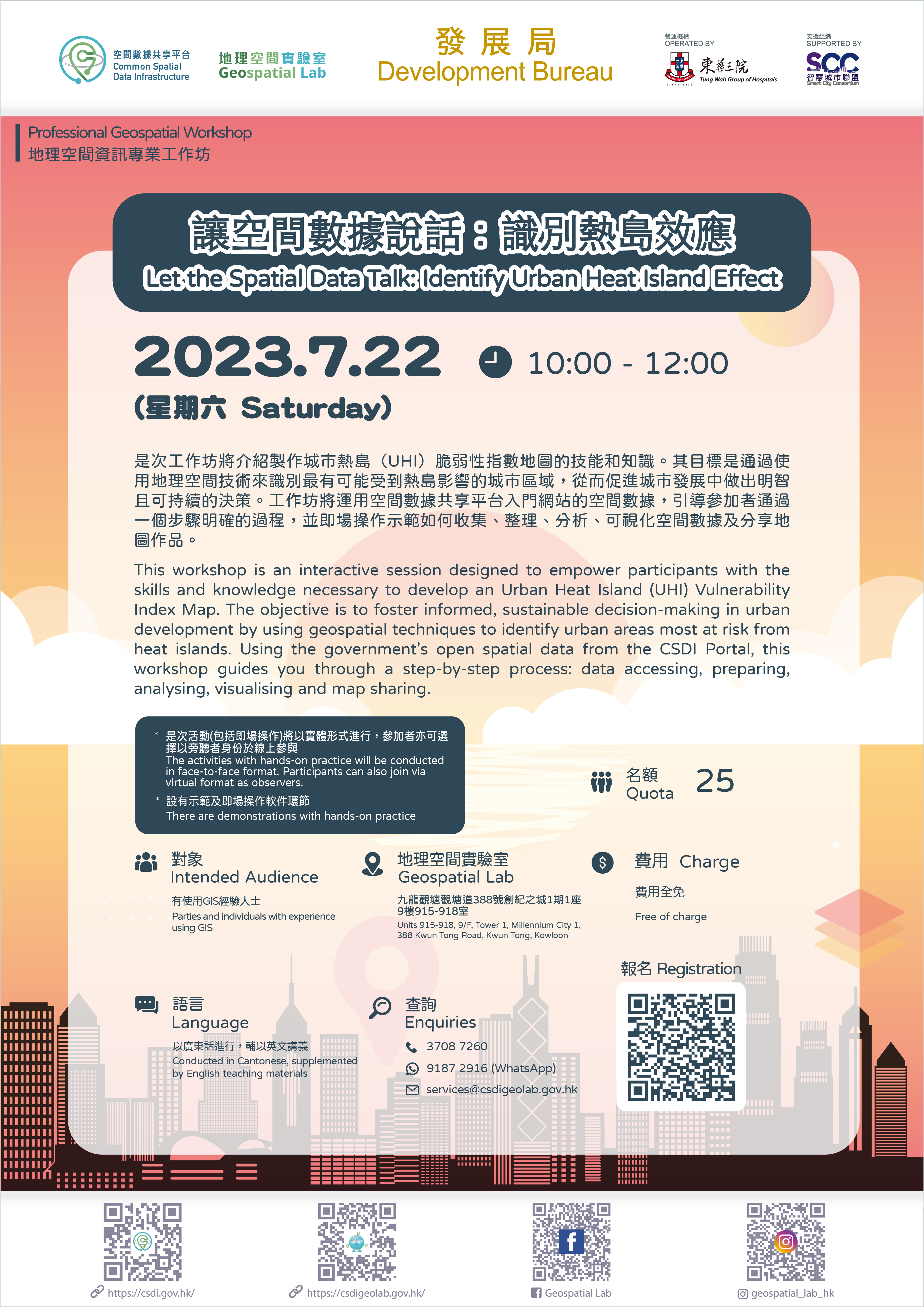
1. Professional Geospatial Workshop – "Let the Spatial Data Talk: Identify Urban Heat Island Effect"
2. Tour in Geospatial Lab, with showcases and demonstrations (Face-to-face session only)
| Date: |
22 July 2023 at 10:00 – 12:00 |
| Venue: |
Geospatial Lab (Units 915-918, 9/F, Tower 1, Millennium City 1, 388 Kwun Tong Road, Kwun Tong, Kowloon) or online observation |
| Language: |
Cantonese, supplemented by English presentation materials |
*Geospatial Lab reserves the right to cancel or reschedule the activity
Please contact the Geospatial Lab via 3708 7260, WhatsApp 9187 2916 or email services@csdigeolab.gov.hk
Contact Info
Telephone: 3708 7260
WhatsApp : 9187 2916
Email: services@csdigeolab.gov.hk
Address
Opening Hours
Monday to Saturday
09:30 am - 1:00 pm
2:15 pm - 5:30 pm
Closed on Sundays and Public Holidays
Follow Us

Links
