The Government of the Hong Kong Special Administrative Region
Development Bureau
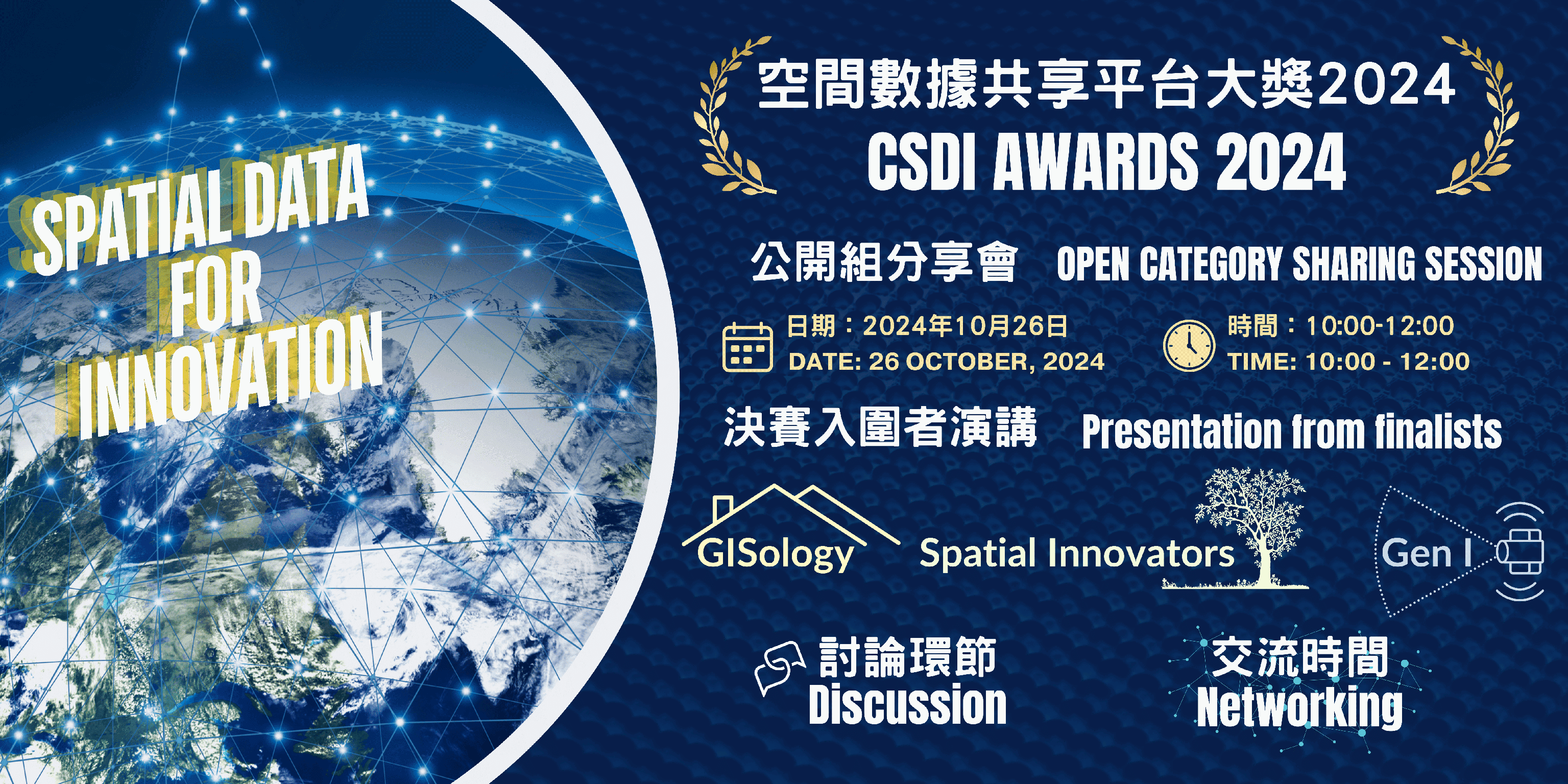
Join us for CSDI Awards 2024 Sharing Session, where talented Open Category finalists showcasing their innovative uses of spatial data to address challenges we faced in Hong Kong. We encourage all participants to engage with these finalists, embrace new opportunities, unlock new business potential.
| Date: |
26 October 2024 |
| Time: |
10:00 – 12:00 (Registration starts at 09:30) |
| Venue: |
Geospatial Lab (Units 915-918, 9/F, Tower 1, Millennium City 1, 388 Kwun Tong Road, Kwun Tong, Kowloon) |
| Agenda: |
|
1. GISology - Home Away From Home: Introducing ReNEST
Members:
Ms. Kok Leong
Mr. Ng Chun Hin
Mr. Wong Ming Kin
Introduction:
ReNEST is an innovative platform designed to assist overseas students and professionals in finding the perfect neighbourhood in Hong Kong. Unlike traditional housing platforms that focus solely on property listings, ReNEST provides comprehensive and personalised neighbourhood insights.
By leveraging advanced AI and GIS technologies, ReNEST analyses both practical needs, such as living cost, accessibility, and safety, and emotional preferences, based on MBTI personality traits. This ensures that users receive customised recommendations for neighbourhoods that best suit their lifestyles and preferences. Additionally, ReNEST offers features such as cross-regional district comparison, detailed district analysis, and immersive 3D views, making it a unique and indispensable tool for anyone planning to move to Hong Kong. Whether you're looking for vibrant entertainment hubs or tranquil residential areas, ReNEST helps you find the community that feels like home, ensuring a smooth and confident transition to your new environment.
2. Spatial Innovators - TreeWise
Members:
Mr. Law Kin Long
Mr. Pang Ka Shun
Ms. Poon Pui Han
Introduction:
“Treewise: Bringing Spatial Data and Geo-AI Analysis for Tree Management in Hong Kong”
In the bustling metropolis of Hong Kong, the challenge of maintaining a reliable tree management system has never been more critical. However, the issue of tree collapses has become a significant concern, associated with the high management workload and the lack of automatically updated tree-related spatial components.
To address this pressing challenge, Team Spatial Innovators has initiated the development of a GIS/AI application, named "Treewise: Bringing Spatial Data and Geo-AI Analysis for Tree Management in Hong Kong."
Treewise leverages various spatial data in the CSDI Portal and the capabilities of geographic information systems (GIS), dedicated to implement a comprehensive solution for Hong Kong's tree management needs. At the core of this innovative platform is an automated tree detection workflow, bundled with advanced tree health index analysis, seamlessly integrated into an intuitive Spatial Dashboard Application.
By harnessing the power of spatial analysis, Treewise aims to enhance the efficiency of the tree management in the whole territory of Hong Kong. Moreover, the application is dedicated to facilitating public awareness of the benefits of spatial data for various innovative applications and securing their buy-in for the implementation of the Common Spatial Data Infrastructure (CSDI) in Hong Kong.
3. Gen I - Localis 3D
Member:
Ms. Lau Sin Ki Braundt
Introduction:
Localis 3D is an immersive 3D GIS platform that is redefining the way people search and evaluate rental properties. By seamlessly integrating the interior and exterior of a property, we are democratising expensive immersive technology, making it accessible to everyone.
Leveraging the 3D data availability of CSDI portal and the power of LIDAR scanning, Localis 3D is bringing convenience and accuracy to informed rental decision process. Landlords can now scan their homes using a smartphone, and within moments, the model is dropped into a fully interactive 3D city environment, ready for home seekers to explore.
This innovative approach offers an all-rounded, unbiased representation of the property, allowing users to not only assess the interior layout and features but also gain a deep contextual understanding of the surrounding environment, including accessibility, natural lighting and future views. By empowering users to make more informed decisions, Localis 3D enhances the property rental experience and promotes a sustainable, socially responsible approach to real estate.
We are mapping the future of property rental with Localis 3D - where cutting-edge technology meets convenience and transparency, transforming the way home seekers can find their perfect home.
*Geospatial Lab reserves the right to cancel or reschedule the activity
Please contact the Geospatial Lab via 3708 7260, WhatsApp 9187 2916 or email services@csdigeolab.gov.hk
Contact Info
Telephone: 3708 7260
WhatsApp : 9187 2916
Email: services@csdigeolab.gov.hk
Address
Opening Hours
Monday to Saturday
09:30 am - 1:00 pm
2:15 pm - 5:30 pm
Closed on Sundays and Public Holidays
Follow Us

Links