
Enrolment
Please read the <Terms> before submitting the enrolment form.
The enrolment deadline is 17 May 2025 (11:59 pm Hong Kong Time).

Workshops and Other Events
Spatial Data Workshops will be organised. GeoLab is also willing to provide tailored workshops based on your school's needs and offer consultation to help your students participate in the Awards.

Background to the Awards
Spatial data is part of everyday life. Easily accessible, high quality and up-to-date spatial data and services are essential to a smart city. To propel Hong Kong’s development into a liveable, smart, and innovative city, Common Spatial Data Infrastructure (“CSDI”) was launched in December 2022 to facilitate searching, viewing and downloading of various kinds of spatial data for free by the general public.
Consider how you use spatial data when navigating with your mobile phone, searching for nearby restaurants, or planning your journey routes. Spatial data is information with geographic location attributes, like points of information on a map telling us "what" can be found "where". For instance, the location of bus stops and nearby recreational facilities are examples of spatial data. Through this data, we can better understand and enhance our urban living, fostering a smarter and more liveable environment.
For more information about CSDI, please visit:
- Common Spatial Data Infrastructure: https://www.csdi.gov.hk/
- CSDI portal: https://portal.csdi.gov.hk/csdi-webpage/
- Geospatial Lab: https://csdigeolab.gov.hk
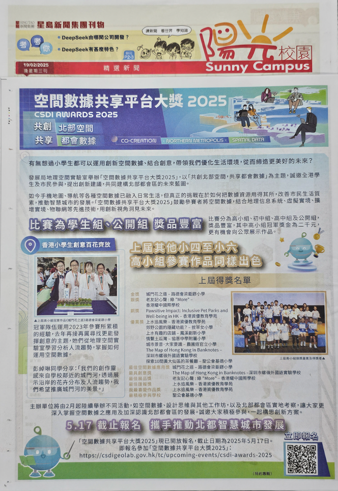
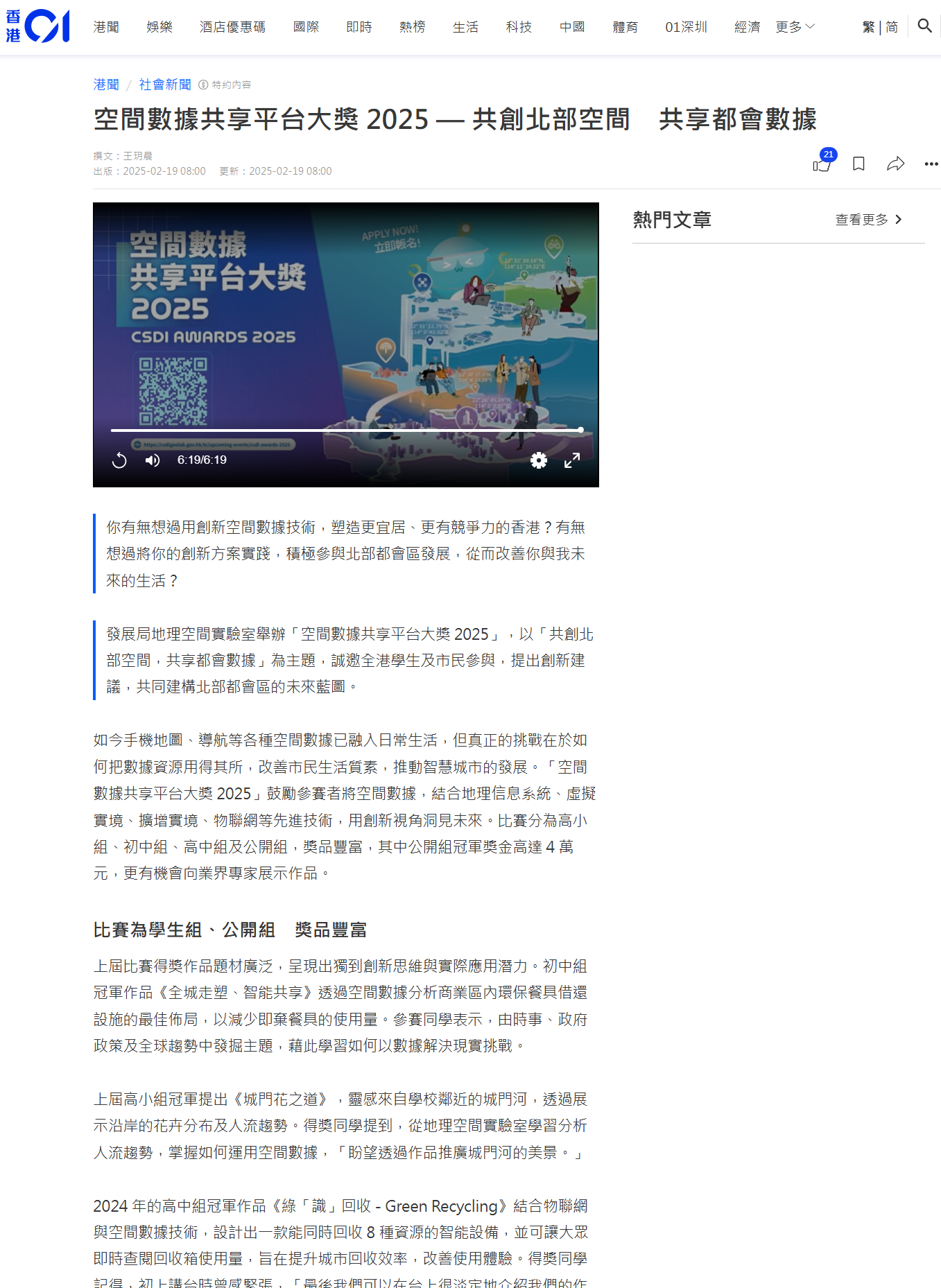
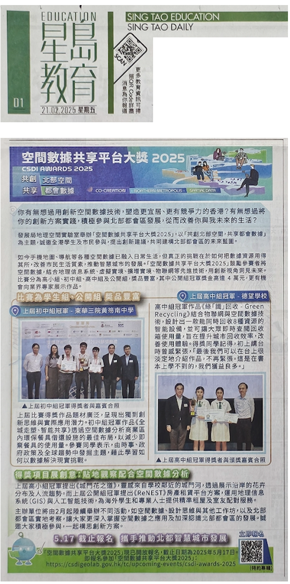
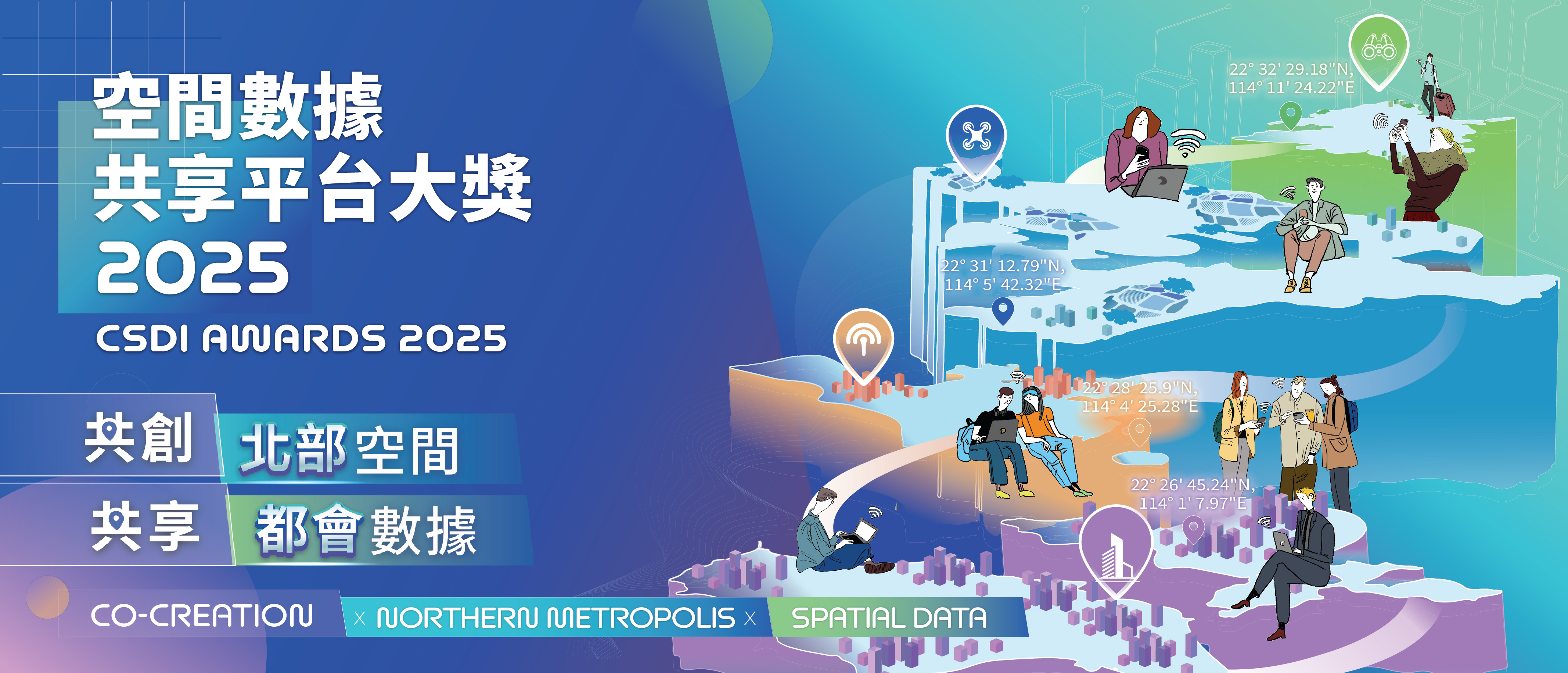
To further promote CSDI and enhance public interest in spatial data, GeoLab, established by the Development Bureau, is now organising the "CSDI Awards 2025 - Co-creation X Northern Metropolis X Spatial Data". The Awards aim to encourage students and the public to utilise spatial data to explore innovative proposals for the development of the Northern Metropolis and discover the crucial role of spatial data in urban development, working together to build a smarter and more liveable Hong Kong.
Promotional Videos

The Theme of this Year
The theme of CSDI Awards 2025 is "Co-creation X Northern Metropolis X Spatial Data", which aims to encourage students and the public to utilise spatial data to explore innovative proposals for the development of the Northern Metropolis. Furthermore, this initiative emphasises the importance of spatial data in urban development, working collectively towards building a smarter and more liveable Hong Kong.
Participants can explore various possibilities for applying spatial data in the Northern Metropolis across multiple domains, including environment, transportation, economy, urban planning and community development, and propose creative solutions to promote sustainable development and social well-being. Below are suggested areas of exploration, whilst participants may also define other relevant research topics.
- Leverage spatial data to create more liveable communities in the Northern Metropolis by learning from challenges faced by various districts in Hong Kong.
- Create visualisation works using existing spatial data to showcase potential development directions and trends of the Northern Metropolis.
- Envision different possibilities for the Northern Metropolis by combining spatial data with emerging industries, such as autonomous driving, entertainment and gaming, and low-altitude economy.
- Demonstrate future planning for the Northern Metropolis by integrating existing spatial data with various technologies (such as Geographic Information Systems, Building Information Modeling, 3D technology, Virtual Reality, Augmented Reality, or Internet of Things).
- Develop new datasets for the Northern Metropolis, combining primary data with existing spatial data to propose different planning possibilities.
- Explore through spatial analysis how the development of the Northern Metropolis can address Hong Kong's existing challenges and create future opportunities.

Why Join the Competition?
If you are interested in:
- Exploring possibilities for Northern Metropolis development through innovative thinking
- Discovering new urban development opportunities through spatial data
- Telling Hong Kong's urban stories through data visualisation
- Optimising daily life experiences using spatial data
- Uncovering business potential of spatial data in smart cities
- Building professional knowledge in geospatial applications
- Developing innovative applications to support smart city development
- Connecting with industry experts to realise innovative ideas
As a participant, you will also:
- Receive guidance and inspiration from professional mentors
- Master the latest trends in spatial data applications
- Enhance your spatial analysis and application skills
- Gain awards and valuable experience
- Prepare for future studies and career development
- Network with like-minded partners for mutual learning
- Receive professional mentorship to transform innovative ideas into practical applications
Turn Your Innovative Ideas into Reality —Register Now !

Contestant Groups
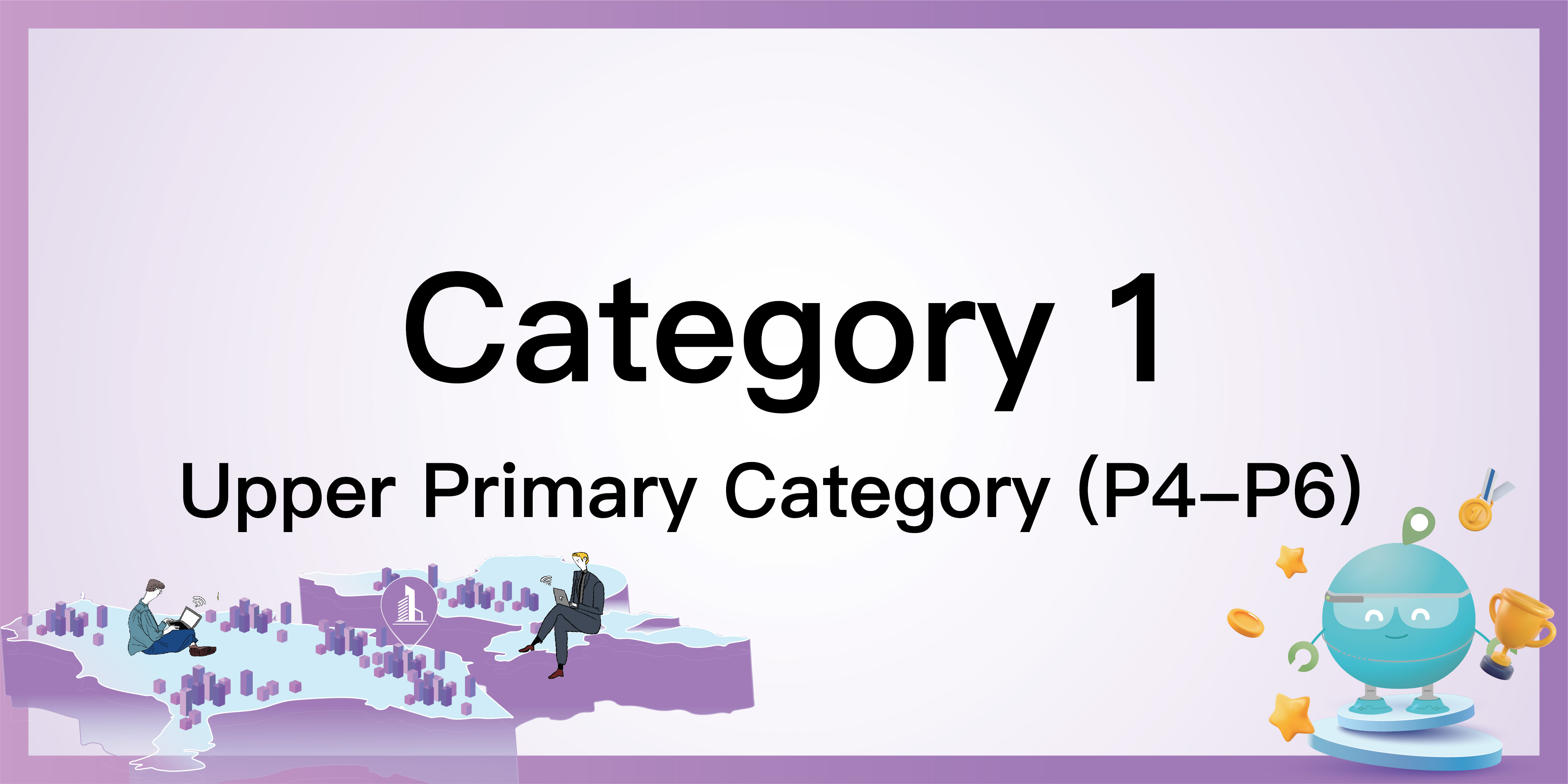
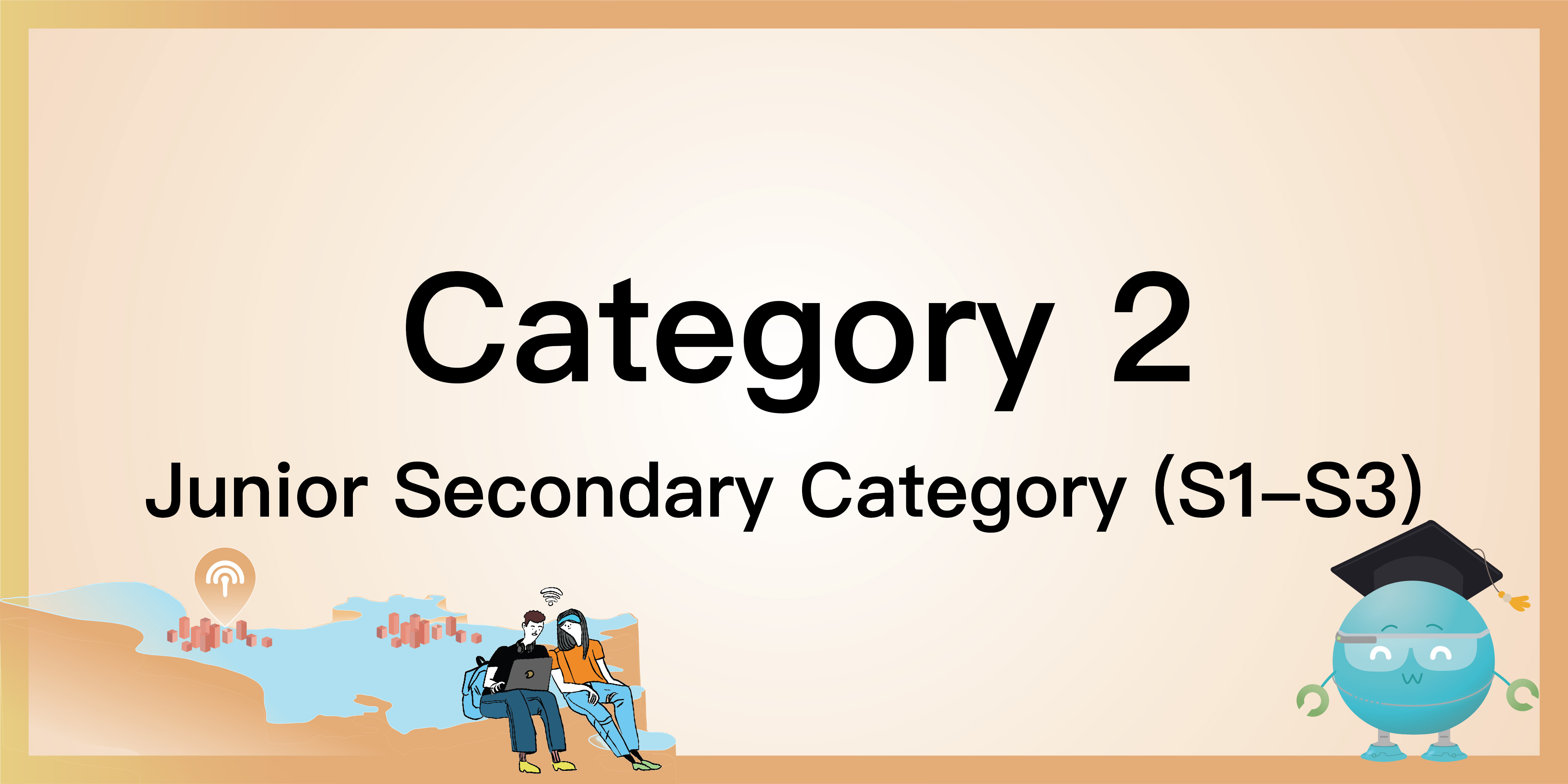
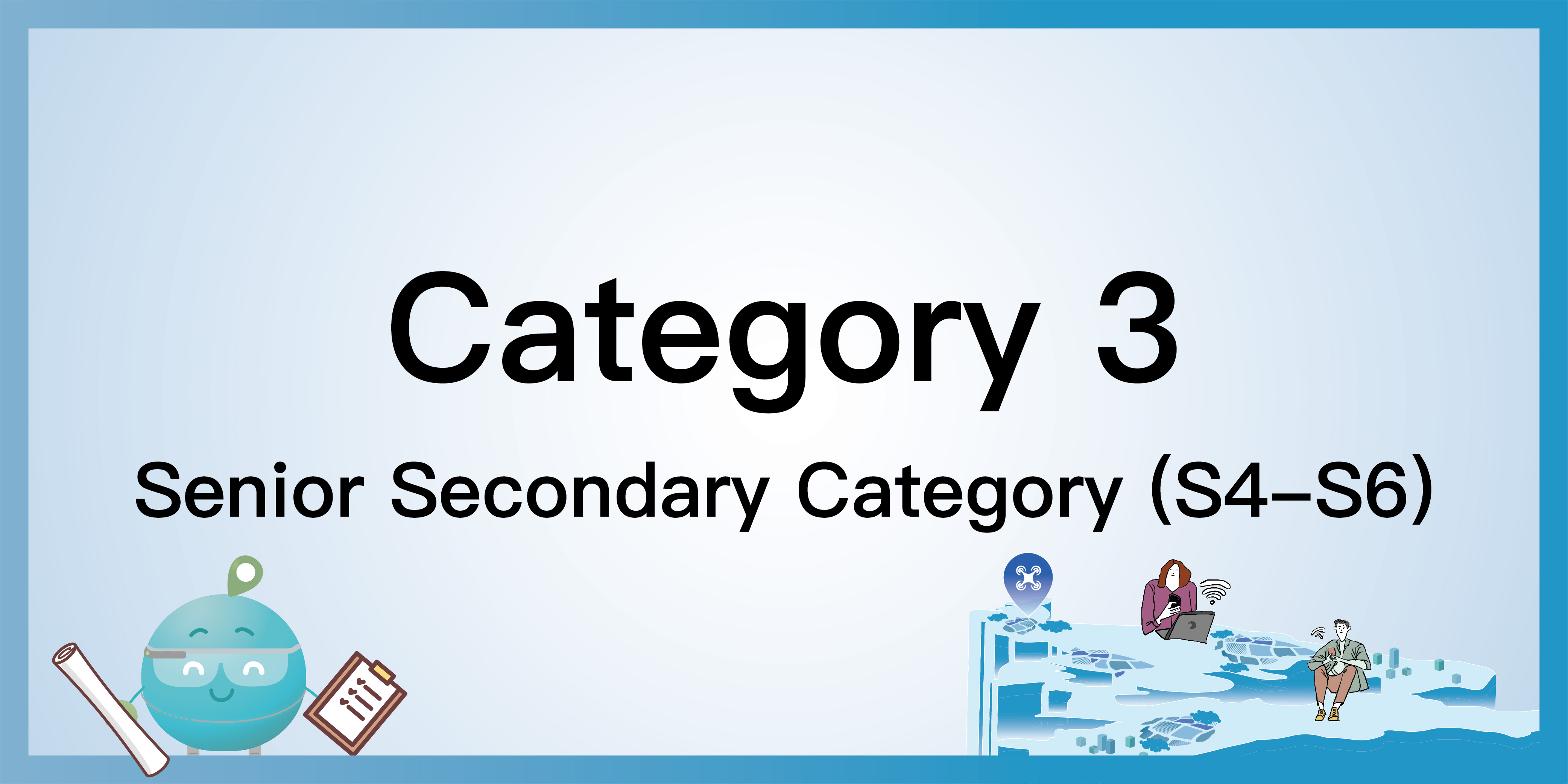
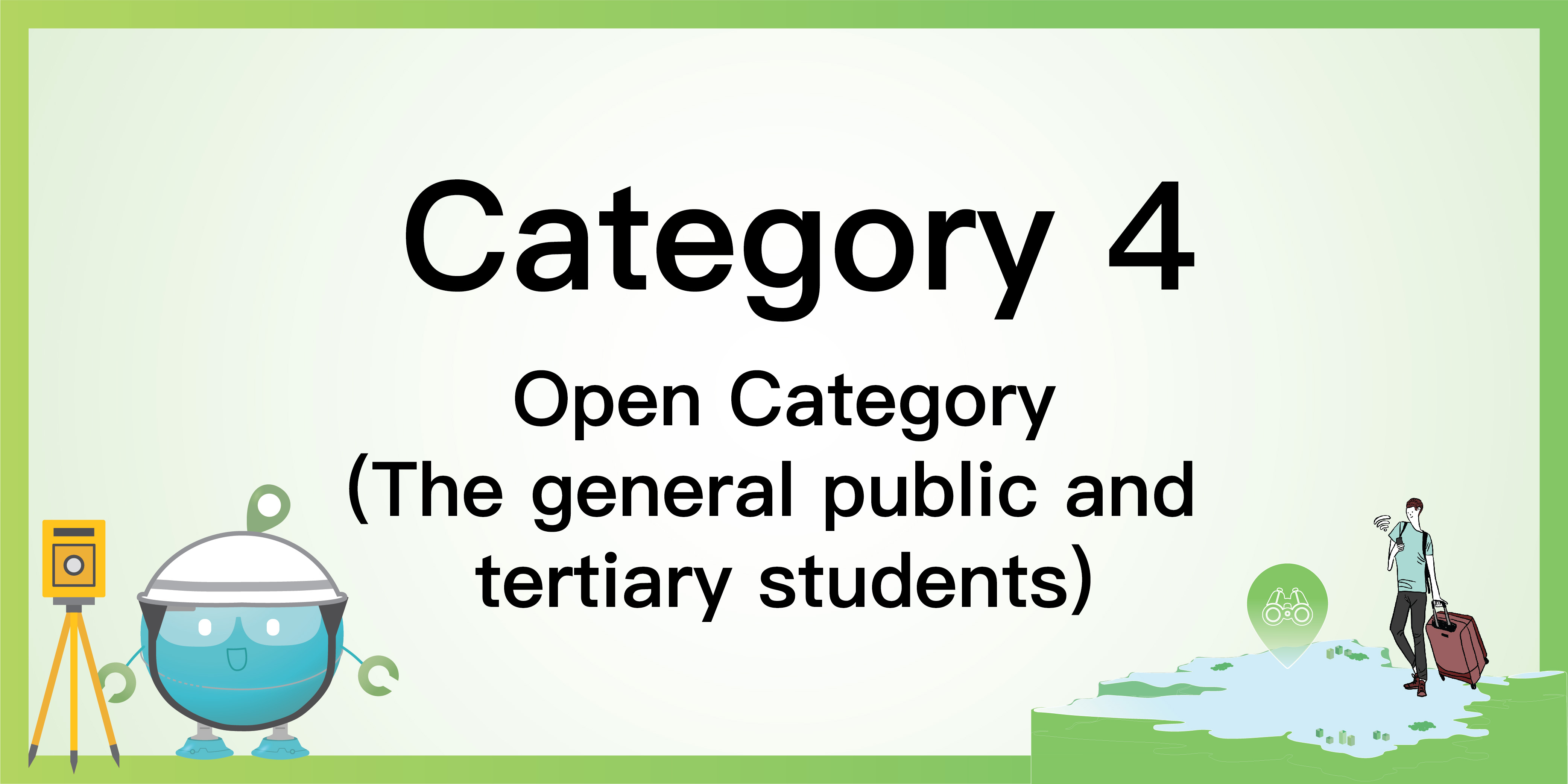
There are 4 contestant groups for the Awards: (Click to know more)
**Important Notes
Categories 1-3 (Upper Primary, Junior Secondary and Senior Secondary):
Participation Format:
- May participate as an individual or under a school/ an organisation
- May participate individually or in teams (2-6 members)
Participation Restrictions:
- No limit on the number of teams for each school/organisation
- Each participant can only join one competing team
Technical Support:
- GeoLab will provide dedicated competition accounts for participants (To apply for an account, please contact via WhatsApp 9187 2916 or Email services@csdigeolab.gov.hk)
- Consultation service for spatial data applications
Category 4 (Open Category):
Participation Format:
- May participate individually or in teams (2-6 members)
Participation Restrictions:
- Each participant can only join one competing team

Briefing Sessions
|
|
|
|
Categories 1-3 (Upper Primary, Junior Secondary and Senior Secondary)
|
Venue: |
Geospatial Lab (Units 915-918, 9/F, Tower 1, Millennium City 1, 388 Kwun Tong Road, Kwun Tong, Kowloon) or online |
|
Date & Time: |
Saturday, 8 February 2025 14:30 - 15:30 (Cantonese) |
Category 4 (Open Category)
|
Venue: |
Online |
|
Date & Time: |
Friday, 7 February 2025 12:30 - 13:30 (English) |

Workshops and Other Events
Spatial Data Workshops will be organised. GeoLab is also willing to provide tailored workshops based on your school's needs and offer consultation to help your students participate in the Awards.
Spatial Data Workshop
Spatial Data Workshop provides participants with essential skills needed for the Awards, such as effectively using spatial data to create web maps and projects. The workshop will introduce CSDI portal, spatial data structure, data visualisation, and spatial analytical techniques.
*The content of each session of the workshop is the same for all categories*
Category 1:
- Saturday, 15 February 2025, 10:00 - 12:00
- Saturday, 8 March 2025, 10:00 - 12:00
- Saturday, 5 April 2025, 10:00 - 12:00
Categories 2 and 3:
- Saturday, 15 February 2025, 14:30 - 16:30
- Saturday, 1 March 2025, 15:00 - 17:00
- Saturday, 5 April 2025, 15:00 - 17:00
Category 4:
- Saturday, 1 March 2025, 10:00 - 12:00
- Saturday, 15 March 2025, 10:00 - 12:00
- Friday, 21 March 2025, 17:00 - 19:00
*Participants must enrol in the competition before attending the workshop*
Fanling North Community Liaison Centre Guided Tour
Location:
- Sha Tau Kok Road (Lung Yeuk Tau), Fanling (near San Uk Tsuen Sitting-Out Area)
- Assembly point: Exit C, Fanling MTR Station (Two-way coach transfer)
Date & Time (The content of each session is the same):
- (Sat) 29 March 2025, 09:45 - 11:15
- (Sat) 26 April 2025, 09:45 - 11:15
- (Sat) 10 May 2025, 09:45 - 11:15
Main Content:
- Guided tour by docents
- Explore the project from multiple perspectives and spatial data (including architectural models, immersive experience, driving simulation, and holographic projections with 3D models, etc)
- Get the latest project information firsthand
- Discover opportunities brought by the Northern Metropolis
Language: Cantonese
*Participants must enrol in the competition before attending the tour*
Design Thinking Training Activities
Through professional guidance, participants will apply Design Thinking with the use of spatial data to develop innovative solutions for urban development.
"Spatial Data Craft"
Introduction to Design Thinking
The seminar will introduce the fundamentals of Design Thinking and practical tools.
Design Thinking Workshop
The workshop, including a community visit (physical or virtual), will guide participants to explore development opportunities in the Northern Metropolis.
GeoLab Upcoming Events
11 Apr 2025
Elevating Spatial Data Innovation
"Geospatial Intelligence Propells Low Altitude Economy"
12 Apr 2025
Professional Geospatial Workshop
"Mapping History: Digitising the Past"
BIM Viewer Online Training
Participants can select one of the software options (Trimble Connect, Navisworks Freedom and Autodesk Viewer) and download the kits without the need to log in.

Awards and Prizes
- Each category includes Champion, 1st Runner-up, 2nd Runner-up, Merit Award and other special awards such as
- Best Spatial Data Application Award
- Most Creative Award
- Best BIM Application Award (For Category 4)
- Best AI Application Award (For Category 4)
- Trophies will be awarded to Champion, 1st Runner-up, and 2nd Runner-up in each category
|
|
|
|
|
|
Champion |
2,000 |
3,000 |
4,000 |
40,000 |
|
1st Runner-up |
1,500 |
2,000 |
3,000 |
30,000 |
|
2nd Runner-up |
1,000 |
1,500 |
2,000 |
20,000 |
|
Merit |
To be announced |
|||
*Each figure refers to the Hong Kong dollar amount to be received by each team receiving the award
In addition to cash prizes, we offer other forms of recognition to reward participants, including but not limited to:
Categories 1-3
- Participation Certificate
- Certificate of Appreciation for Participating Schools
- Trophy for School with Most Participating Students
- Media Coverage
Category 4
- Participation Certificate
- Media Coverage
- Mentorship
- Networking Opportunities (Finalists will have the chance to showcase their work to industry professionals)

Time Schedule
February - Phase One: Enrolment Starts
- 7 Feb - Briefing Session (Category 4)
- 8 Feb - Briefing Session (Categories 1-3)
- Spatial Data Workshop
February - Phase One: Enrolment Starts
March to May - Workshops and Site Visit
- Spatial Data Workshop
- Northern Metropolis Site Visit (Title TBC)
- Design Thinking Workshop
- 17 May - Enrolment and Submission Deadline
June - Phase Two
- Finalists Notification
- Mentorship
- Mock Presentation
June - Phase Two
July
- 19,20 Jul - Final Presentation
August - Announcement
- 2 Aug - Awards Ceremony
August - Announcement

Useful Resources
We offer a free GIS Training Kit to teachers who are interested to participate in the Awards. The Training Kit is intended to facilitate teachers to deliver effective GIS lessons in class so they can later mobilise and prepare their students to join the Awards. The Kit will provide instructions on downloading spatial data, creating content, displaying data in maps, analysing data and saving maps for public access and collaboration.
Click the below button to fill in the form to get the Training Kit.

Submission
Please submit Phase 1 and Phase 2 materials by email to csdiawards2025@csdigeolab.gov.hk along with your provided team number.
Participants must clearly state whether their submission for this competition has been used to participate in other competition organised or co-organised by the CSDI or GeoLab.
Categories 1-3
- Send us the HTML source code OR long URL of the web map. ALWAYS test the URL links in a "private/incognito" browser window before submitting
- Participants are asked to create a title on their web map but refrain from entering into it any personal name, details, affiliated organisation / school
- Upload a 1-minute video introducing your web map to a file-sharing platform, and submit the shareable link through email
- Participants can choose to complete their work in Chinese or English
- Present and showcase their work using a physical exhibit display no larger than 50 x 50 x 50cm [Note: Participants are kindly requested to personally carry the physical visual item throughout the Final Presentation/Awards Ceremony. Geospatial Lab, regretfully, cannot take responsibility for any transportation or logistics arrangements regarding the visualisation materials]
- After submission of Phase 1, no modifications or updates are allowed. Finalists will be individually notified to make changes or updates on their work during Phase 2.
- In Phase 2 of the Awards, finalists will be invited to present their works in the Final Presentation and Awards ceremony
- In case of disputes, the decisions of the Geospatial Lab shall be final
Category 4
- Please submit your proposal via email. Please note that the maximum email size allowed is 100 MB, and the proposal should not exceed 10 pages in length
- Upload a 1-minute video introducing your proposal/prototype to a file-sharing platform, and submit the shareable link along with your presentation materials in your email
- In Phase 2 of the Awards, the prototype should be presented in the Final Presentation and the Awards Ceremony

Enrolment
Please read the <Terms> before submitting the enrolment form.
The enrolment deadline is 17 May 2025 (11:59 pm Hong Kong Time).
Partnership


Ecosystem Partners


Supporting Organisations


Enquiries
Telephone/ WhatsApp: 6777 6786 (Contact, Enrolment) / 6414 2497 (Instant Enquiries)
Email: csdiawards2025@csdigeolab.gov.hk
For CSDI Awards 2025 enquiries only

